
Thank you for supporting this site ❤️
Make a donation
Make a donation
Lukande topographic map
Click on the map to display elevation.
Thank you for supporting this site ❤️
Make a donation
Make a donation
About this map
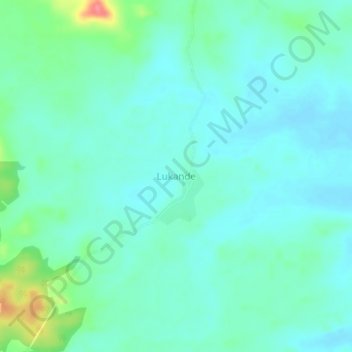
Name: Lukande topographic map, elevation, terrain.
Location: Lukande, Ulanga, Morogoro Region, Coastal Zone, Tanzania (-8.81923 36.81211 -8.77923 36.85211)
Average elevation: 340 m
Minimum elevation: 324 m
Maximum elevation: 397 m
Thank you for supporting this site ❤️
Make a donation
Make a donation
Other topographic maps
Click on a map to view its topography, its elevation and its terrain.