
Jagvi topographic map
Click on the map to display elevation.
About this map
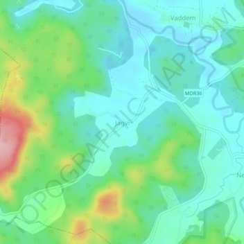
Name: Jagvi topographic map, elevation, terrain.
Location: Jagvi, Sanguem, South Goa, Goa, India (15.07988 74.17541 15.11988 74.21541)
Average elevation: 91 m
Minimum elevation: 40 m
Maximum elevation: 234 m
Other topographic maps
Click on a map to view its topography, its elevation and its terrain.