
Pudu topographic map
Interactive map
Click on the map to display elevation.
About this map
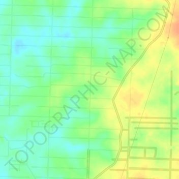
Name: Pudu topographic map, elevation, terrain.
Location: Pudu, Central Kalimantan, Indonesia (-2.64207 111.25204 -2.60207 111.29204)
Average elevation: 21 m
Minimum elevation: 5 m
Maximum elevation: 41 m