
Balbalan topographic map
Click on the map to display elevation.
About this map
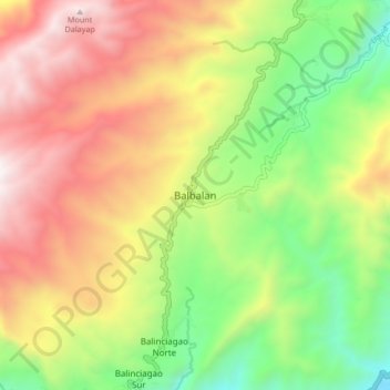
Name: Balbalan topographic map, elevation, terrain.
Location: Balbalan, Kalinga, 3801, Philippines (17.40144 121.16163 17.48144 121.24163)
Average elevation: 1,071 m
Minimum elevation: 307 m
Maximum elevation: 1,936 m