
Make a donation
Dillon Reservoir topographic map
Click on the map to display elevation.
Make a donation
Dillon Reservoir
Dillon Reservoir has a popular 18 miles (29 km) paved bike path that winds around the entire reservoir. The path can be accessed at any point around the reservoir. Starting in Frisco and going clockwise, it goes behind the Summit Middle School, marshlands, and continues across the Dam road. It passes the towns of Silverthorne and Dillon. Once into Summit Cove subdivision, the path climbs over Swan Mountain and reaches its highest elevation of 9,500 feet (2,900 m) above sea level at the top at Sapphire Point, which is 1,100 feet (340 m) above the lowest point of the bike path. This is a popular lookout over Dillon Reservoir and much of Summit County. The path dissolves into the road on the other side. Bikers and cars must share the road. At the bottom, the path resumes near Summit High School. The path goes behind the hospital and back into Frisco.
Make a donation
About this map
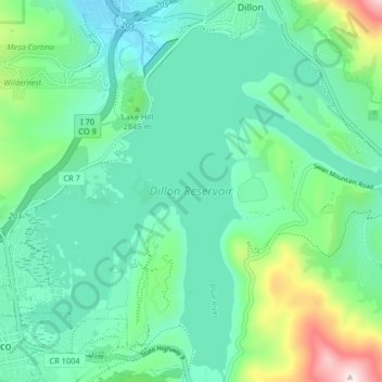
Name: Dillon Reservoir topographic map, elevation, terrain.
Average elevation: 2,808 m
Minimum elevation: 2,670 m
Maximum elevation: 3,279 m
Make a donation