
Jambrung topographic map
Interactive map
Click on the map to display elevation.
About this map
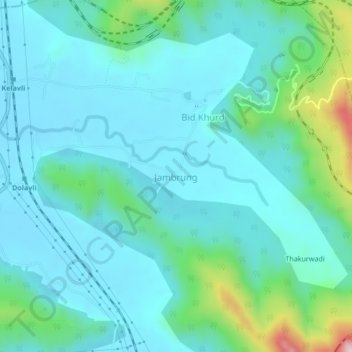
Name: Jambrung topographic map, elevation, terrain.
Location: Jambrung, Khalapur, Raigad, Maharashtra, 410203, India (18.81343 73.31857 18.85343 73.35857)
Average elevation: 128 m
Minimum elevation: 54 m
Maximum elevation: 480 m