
Mettau topographic map
Interactive map
Click on the map to display elevation.
About this map
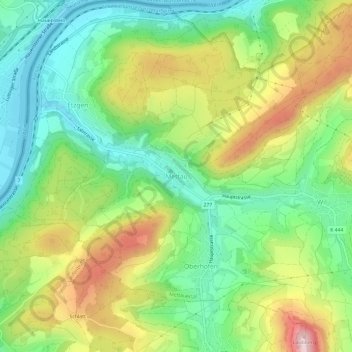
Name: Mettau topographic map, elevation, terrain.
Location: Mettau, Mettauertal, Bezirk Laufenburg, Aargau, 5274, Schweiz (47.54391 8.10750 47.58391 8.14750)
Average elevation: 432 m
Minimum elevation: 302 m
Maximum elevation: 637 m