
Mannarkulanji topographic map
Interactive map
Click on the map to display elevation.
About this map
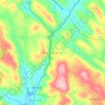
Name: Mannarkulanji topographic map, elevation, terrain.
Location: Mannarkulanji, Konni, Pathanamthitta, Kerala, 689678, India (9.28532 76.78467 9.32532 76.82467)
Average elevation: 113 m
Minimum elevation: 25 m
Maximum elevation: 219 m