
Tenões topographic map
Interactive map
Click on the map to display elevation.
About this map
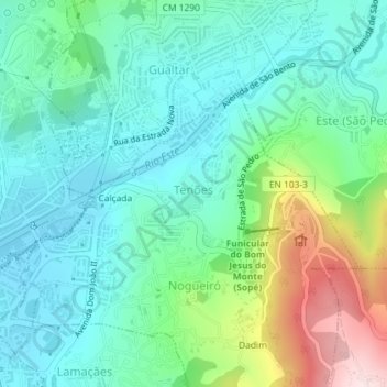
Name: Tenões topographic map, elevation, terrain.
Location: Tenões, Nogueiró e Tenões, Braga, Cávado, Norte, Portugal (41.55047 -8.39602 41.56430 -8.37044)
Average elevation: 270 m
Minimum elevation: 174 m
Maximum elevation: 543 m