
Ritch topographic map
Click on the map to display elevation.
About this map
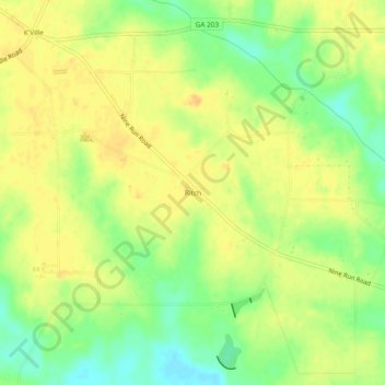
Name: Ritch topographic map, elevation, terrain.
Location: Ritch, Wayne County, Georgia, 31056, United States (31.51993 -82.12623 31.55993 -82.08623)
Average elevation: 40 m
Minimum elevation: 21 m
Maximum elevation: 51 m