
Madda topographic map
Interactive map
Click on the map to display elevation.
About this map
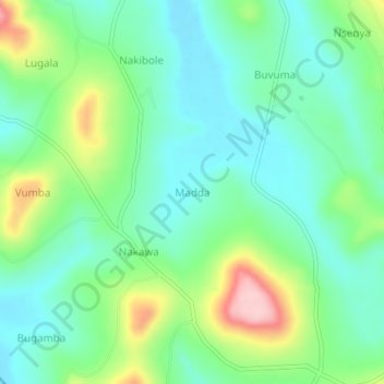
Name: Madda topographic map, elevation, terrain.
Location: Madda, Buikwe, Central Region, Uganda (0.28000 32.89667 0.32000 32.93667)
Average elevation: 1,201 m
Minimum elevation: 1,146 m
Maximum elevation: 1,329 m