
Fort Ross topographic map
Click on the map to display elevation.
Fort Ross
The Native Alaskan Village site was the subject of an investigation into its spatial organization, seeing “topographic mapping of surface features, systematic surface collection and generation of artifact distribution maps, and geophysical investigations involving both magnetometer and soil resistance survey." The aforementioned surface collection resulted in the discovery of “glass beads, ceramics, projectile points, flakes, and worked bone artifacts over a 200 x 40 m area."
About this map
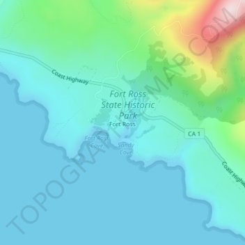
Name: Fort Ross topographic map, elevation, terrain.
Location: Fort Ross, Sonoma County, California, 95450, United States (38.51368 -123.24423 38.51482 -123.24290)
Average elevation: 68 m
Minimum elevation: 0 m
Maximum elevation: 387 m