
Thank you for supporting this site ❤️
Make a donation
Make a donation
A Cova topographic map
Click on the map to display elevation.
Thank you for supporting this site ❤️
Make a donation
Make a donation
About this map
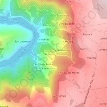
Name: A Cova topographic map, elevation, terrain.
Location: A Cova, O Saviñao, Terra de Lemos, Lugo, Galicia, Spain (42.54845 -7.68533 42.56812 -7.66544)
Average elevation: 458 m
Minimum elevation: 209 m
Maximum elevation: 649 m
Thank you for supporting this site ❤️
Make a donation
Make a donation