
Avani topographic map
Interactive map
Click on the map to display elevation.
About this map
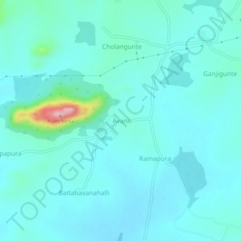
Name: Avani topographic map, elevation, terrain.
Location: Avani, Mulubagilu taluk, Kolar district, Karnataka, India (13.08739 78.31004 13.12739 78.35004)
Average elevation: 820 m
Minimum elevation: 795 m
Maximum elevation: 986 m