
Lliberdón topographic map
Interactive map
Click on the map to display elevation.
About this map
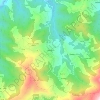
Name: Lliberdón topographic map, elevation, terrain.
Location: Lliberdón, Colunga, Asturies, Espagne (43.41009 -5.33234 43.45009 -5.29234)
Average elevation: 333 m
Minimum elevation: 77 m
Maximum elevation: 796 m