
Thank you for supporting this site ❤️
Make a donation
Make a donation
Upper Lagoon topographic map
Click on the map to display elevation.
Thank you for supporting this site ❤️
Make a donation
Make a donation
About this map
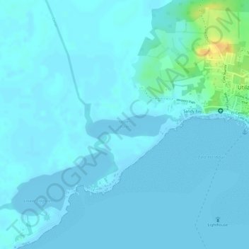
Name: Upper Lagoon topographic map, elevation, terrain.
Location: Upper Lagoon, Útila, Bay Islands, Honduras (16.09411 -86.91298 16.09870 -86.90280)
Average elevation: 4 m
Minimum elevation: -2 m
Maximum elevation: 31 m
Thank you for supporting this site ❤️
Make a donation
Make a donation