
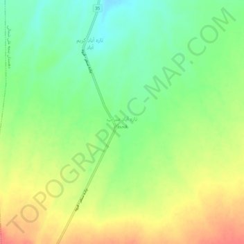
Tazehabad-e Sarab-e Qaht topographic map
Interactive map
Click on the map to display elevation.
About this map
Name: Tazehabad-e Sarab-e Qaht topographic map, elevation, terrain.
Average elevation: 1,877 m
Minimum elevation: 1,846 m
Maximum elevation: 1,914 m