
Tivat topographic map
Interactive map
Click on the map to display elevation.
About this map
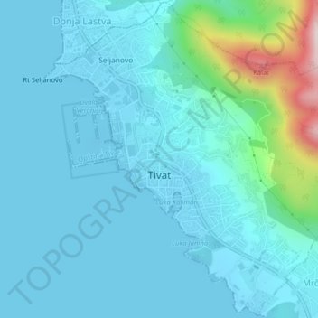
Name: Tivat topographic map, elevation, terrain.
Location: Tivat, Municipalité de Tivat, Monténégro (42.41752 18.68437 42.44621 18.72370)
Average elevation: 60 m
Minimum elevation: -4 m
Maximum elevation: 460 m