
Thank you for supporting this site ❤️
Make a donation
Make a donation
Borli topographic map
Click on the map to display elevation.
Thank you for supporting this site ❤️
Make a donation
Make a donation
About this map
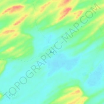
Name: Borli topographic map, elevation, terrain.
Location: Borli, Islamkot, Tharparkar District, Sindh, 69240, Pakistan (24.54769 70.07281 24.58769 70.11281)
Average elevation: 51 m
Minimum elevation: 31 m
Maximum elevation: 94 m
Thank you for supporting this site ❤️
Make a donation
Make a donation