
Sindae-ri topographic map
Interactive map
Click on the map to display elevation.
About this map
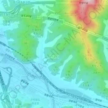
Name: Sindae-ri topographic map, elevation, terrain.
Location: Sindae-ri, Gonjiam-eup, Gwangju-si, Gyeonggi, South Korea (37.35131 127.32574 37.37259 127.34802)
Average elevation: 141 m
Minimum elevation: 64 m
Maximum elevation: 425 m