
Thank you for supporting this site ❤️
Make a donation
Make a donation
Flagpole topographic map
Click on the map to display elevation.
Thank you for supporting this site ❤️
Make a donation
Make a donation
About this map
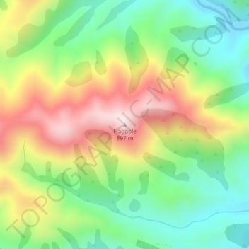
Name: Flagpole topographic map, elevation, terrain.
Location: Flagpole, Selwyn District, Canterbury, New Zealand (-43.42953 171.85068 -43.42943 171.85078)
Average elevation: 570 m
Minimum elevation: 339 m
Maximum elevation: 890 m
Thank you for supporting this site ❤️
Make a donation
Make a donation