
泥河镇 topographic map
Interactive map
Click on the map to display elevation.
About this map
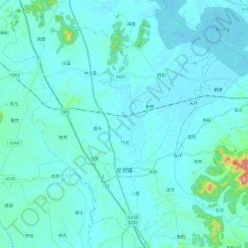
Name: 泥河镇 topographic map, elevation, terrain.
Location: 泥河镇, 庐江县, 合肥市, 安徽省, 231500, 中国 (31.03172 117.21331 31.20252 117.39604)
Average elevation: 28 m
Minimum elevation: 3 m
Maximum elevation: 321 m
Other topographic maps
Click on a map to view its topography, its elevation and its terrain.