
پلام topographic map
Interactive map
Click on the map to display elevation.
About this map
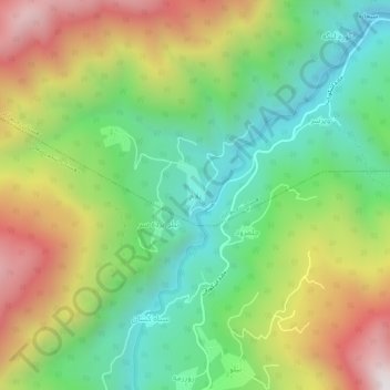
Name: پلام topographic map, elevation, terrain.
Location: پلام, بخش رحیم آباد, Rudsar County, Gilan Province, Iran (36.90090 50.22332 36.94090 50.26332)
Average elevation: 691 m
Minimum elevation: 202 m
Maximum elevation: 1,422 m