
Crawford County topographic map
Interactive map
Click on the map to display elevation.
About this map
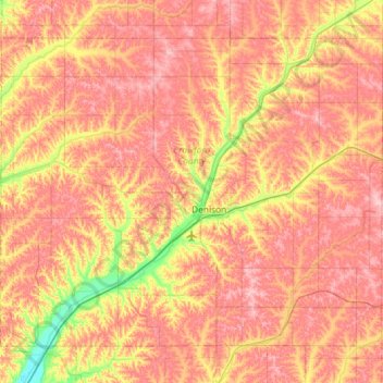
Name: Crawford County topographic map, elevation, terrain.
Location: Crawford County, Iowa, Vereinigte Staaten von Amerika (41.86188 -95.67345 42.21129 -95.09132)
Average elevation: 411 m
Minimum elevation: 326 m
Maximum elevation: 473 m