
Chäserrugg topographic map
Interactive map
Click on the map to display elevation.
About this map
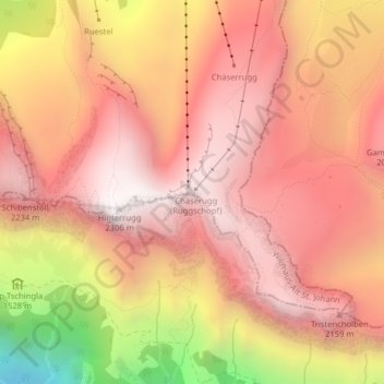
Name: Chäserrugg topographic map, elevation, terrain.
Average elevation: 1,843 m
Minimum elevation: 877 m
Maximum elevation: 2,306 m
Durch seine geringe Schartenhöhe von nur 14 Metern gegenüber dem Hinterrugg ist der Chäserrugg eigentlich ein Nebengipfel des höchsten der Churfirsten.