
Trace topographic map
Interactive map
Click on the map to display elevation.
About this map
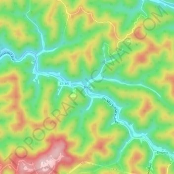
Name: Trace topographic map, elevation, terrain.
Location: Trace, Mingo County, West Virginia, 25671, United States (37.86732 -82.21680 37.90732 -82.17680)
Average elevation: 385 m
Minimum elevation: 266 m
Maximum elevation: 543 m