
Sijeon-dong topographic map
Interactive map
Click on the map to display elevation.
About this map
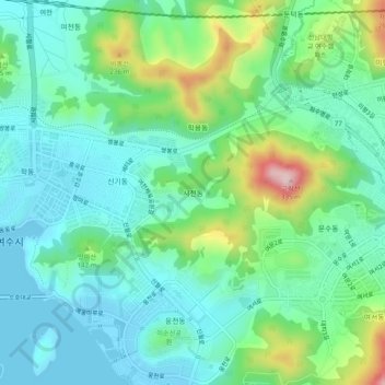
Name: Sijeon-dong topographic map, elevation, terrain.
Location: Sijeon-dong, Yeosu-si, South Jeolla, 59683, South Korea (34.73966 127.66306 34.77966 127.70306)
Average elevation: 80 m
Minimum elevation: -1 m
Maximum elevation: 313 m