
Eatonia topographic map
Interactive map
Click on the map to display elevation.
About this map
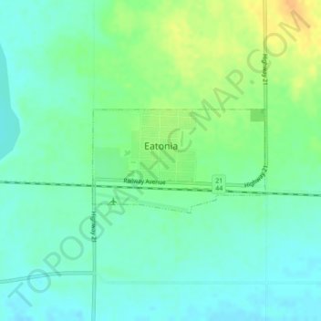
Name: Eatonia topographic map, elevation, terrain.
Location: Eatonia, Saskatchewan, S0L 0Y0, Canadá (51.21855 -109.39927 51.22727 -109.37600)
Average elevation: 720 m
Minimum elevation: 709 m
Maximum elevation: 740 m