
2-chome topographic map
Interactive map
Click on the map to display elevation.
About this map
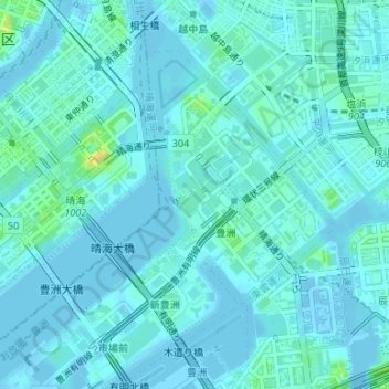
Name: 2-chome topographic map, elevation, terrain.
Location: 2-chome, 豊洲, Koto, Tokio, Japón (35.65145 139.78913 35.65930 139.79670)
Average elevation: 5 m
Minimum elevation: -6 m
Maximum elevation: 32 m