
Húns topographic map
Interactive map
Click on the map to display elevation.
About this map
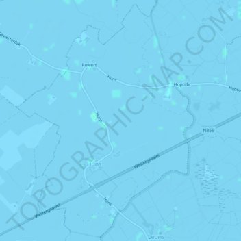
Name: Húns topographic map, elevation, terrain.
Location: Húns, Leeuwarden, Friesland, Niederlande (53.15174 5.65284 53.17782 5.68576)
Average elevation: 0 m
Minimum elevation: -3 m
Maximum elevation: 2 m