
Ladby topographic map
Interactive map
Click on the map to display elevation.
About this map
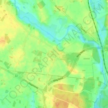
Name: Ladby topographic map, elevation, terrain.
Location: Ladby, Næstved Kommune, Region Sjælland, Danemark (55.24031 11.70104 55.28031 11.74104)
Average elevation: 16 m
Minimum elevation: 1 m
Maximum elevation: 32 m