
Chanalu topographic map
Interactive map
Click on the map to display elevation.
About this map
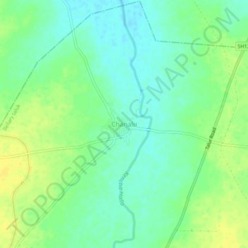
Name: Chanalu topographic map, elevation, terrain.
Location: Chanalu, Bellary taluk, Bellary district, Karnataka, India (15.33811 76.96724 15.37811 77.00724)
Average elevation: 404 m
Minimum elevation: 393 m
Maximum elevation: 416 m