
Moab topographic map
Interactive map
Click on the map to display elevation.
About this map
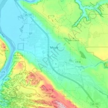
Name: Moab topographic map, elevation, terrain.
Average elevation: 1,357 m
Minimum elevation: 1,200 m
Maximum elevation: 1,746 m
Moab liegt am Colorado River in einer Höhe von 1227 m über dem Meeresspiegel auf dem Colorado-Plateau. Die Stadt bedeckt eine Fläche von 9,4 km².