
Malsi topographic map
Interactive map
Click on the map to display elevation.
About this map
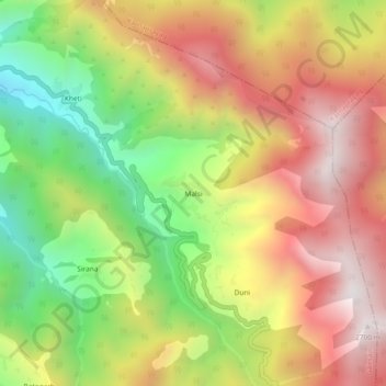
Name: Malsi topographic map, elevation, terrain.
Location: Malsi, Gairsain, Chamoli, Uttarakhand, 246440, India (30.10409 79.25598 30.14409 79.29598)
Average elevation: 2,096 m
Minimum elevation: 1,465 m
Maximum elevation: 2,682 m