
Ajra topographic map
Interactive map
Click on the map to display elevation.
About this map
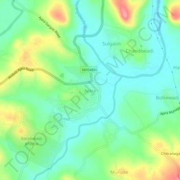
Name: Ajra topographic map, elevation, terrain.
Location: Ajra, Kolhapur, Maharashtra, 416505, India (16.09608 74.19007 16.13608 74.23007)
Average elevation: 672 m
Minimum elevation: 639 m
Maximum elevation: 739 m