
Hirschau topographic map
Interactive map
Click on the map to display elevation.
About this map
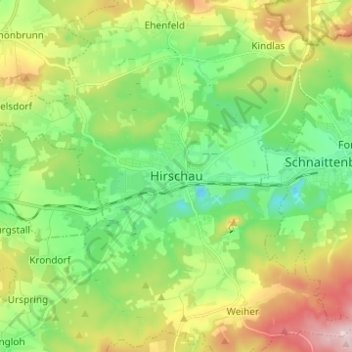
Name: Hirschau topographic map, elevation, terrain.
Location: Hirschau, Landkreis Amberg-Sulzbach, Beieren, 92242, Duitsland (49.50459 11.90643 49.58459 11.98643)
Average elevation: 467 m
Minimum elevation: 352 m
Maximum elevation: 676 m