
Friths topographic map
Interactive map
Click on the map to display elevation.
About this map
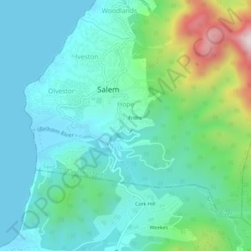
Name: Friths topographic map, elevation, terrain.
Location: Friths, Salem, Saint Peter, Montserrat (16.72371 -62.23808 16.76371 -62.19808)
Average elevation: 159 m
Minimum elevation: -3 m
Maximum elevation: 720 m