
Río Gallegos topographic map
Interactive map
Click on the map to display elevation.
About this map
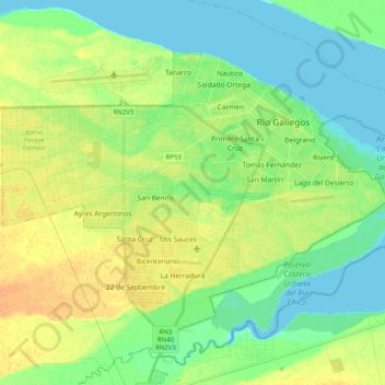
Name: Río Gallegos topographic map, elevation, terrain.
Average elevation: 13 m
Minimum elevation: 0 m
Maximum elevation: 30 m
Other topographic maps
Click on a map to view its topography, its elevation and its terrain.
El Calafate
Argentina > Santa Cruz Province > El Calafate
El Calafate, Lago Argentino, Santa Cruz Province, Argentina
Average elevation: 251 m