
Thank you for supporting this site ❤️
Make a donation
Make a donation
East District topographic map
Click on the map to display elevation.
Thank you for supporting this site ❤️
Make a donation
Make a donation
About this map
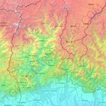
Name: East District topographic map, elevation, terrain.
Location: East District, East Sikkim District, Sikkim, India (26.63333 87.96667 28.03333 89.36667)
Average elevation: 2,740 m
Minimum elevation: 73 m
Maximum elevation: 8,489 m
Thank you for supporting this site ❤️
Make a donation
Make a donation