
Oakfield Township topographic map
Interactive map
Click on the map to display elevation.
About this map
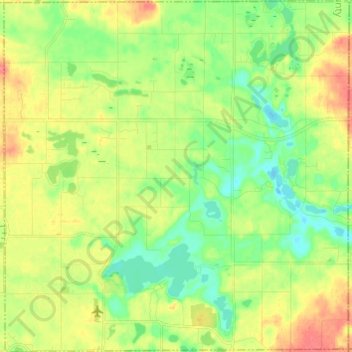
Name: Oakfield Township topographic map, elevation, terrain.
Location: Oakfield Township, Kent County, Michigan, United States (43.11801 -85.43144 43.20645 -85.31216)
Average elevation: 265 m
Minimum elevation: 241 m
Maximum elevation: 297 m