
Thank you for supporting this site ❤️
Make a donation
Make a donation
Moraleja topographic map
Click on the map to display elevation.
Thank you for supporting this site ❤️
Make a donation
Make a donation
About this map
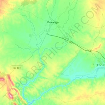
Name: Moraleja topographic map, elevation, terrain.
Location: Moraleja, Sierra de Gata, Cáceres, Estremadura, 10840, Espanha (39.90362 -6.77527 40.11126 -6.61777)
Average elevation: 305 m
Minimum elevation: 198 m
Maximum elevation: 601 m
Thank you for supporting this site ❤️
Make a donation
Make a donation