
Vegaviana topographic map
Interactive map
Click on the map to display elevation.
About this map
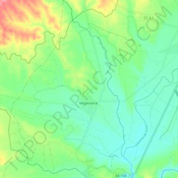
Name: Vegaviana topographic map, elevation, terrain.
Location: Vegaviana, Sierra de Gata, Cáceres, Estremadura, Espanha (40.01261 -6.75747 40.08089 -6.69423)
Average elevation: 268 m
Minimum elevation: 240 m
Maximum elevation: 329 m