
Herenthout topographic map
Interactive map
Click on the map to display elevation.
About this map
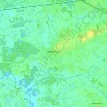
Name: Herenthout topographic map, elevation, terrain.
Location: Herenthout, Turnhout, Antwerp, Flanders, 2270, Belgium (51.11174 4.71411 51.16461 4.81049)
Average elevation: 10 m
Minimum elevation: 3 m
Maximum elevation: 21 m