
Füssen topographic map
Interactive map
Click on the map to display elevation.
About this map
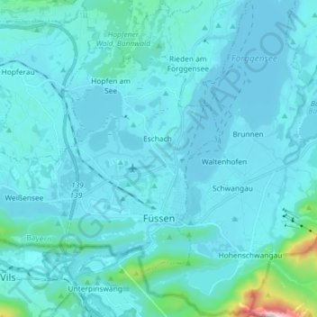
Name: Füssen topographic map, elevation, terrain.
Location: Füssen, Landkreis Ostallgäu, Baviera, 87629, Alemanha (47.55099 10.58277 47.62047 10.72727)
Average elevation: 852 m
Minimum elevation: 773 m
Maximum elevation: 1,915 m