
Niellé topographic map
Interactive map
Click on the map to display elevation.
About this map
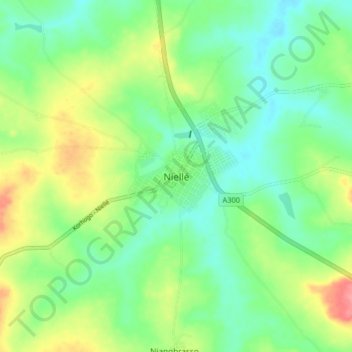
Name: Niellé topographic map, elevation, terrain.
Location: Niellé, Tchologo, Savanes, Côte d’Ivoire (10.15790 -5.66493 10.23790 -5.58493)
Average elevation: 340 m
Minimum elevation: 312 m
Maximum elevation: 393 m