
Thank you for supporting this site ❤️
Make a donation
Make a donation
Bear Creek topographic map
Click on the map to display elevation.
Thank you for supporting this site ❤️
Make a donation
Make a donation
About this map
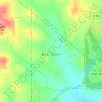
Name: Bear Creek topographic map, elevation, terrain.
Location: Bear Creek, Hays County, Texas, United States (30.17247 -97.95146 30.19339 -97.92875)
Average elevation: 298 m
Minimum elevation: 259 m
Maximum elevation: 356 m
Thank you for supporting this site ❤️
Make a donation
Make a donation