
Sedrun topographic map
Interactive map
Click on the map to display elevation.
About this map
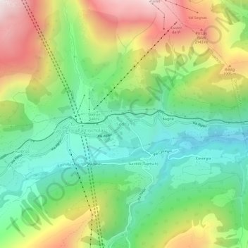
Name: Sedrun topographic map, elevation, terrain.
Location: Sedrun, Tujetsch, Surselva, Graubünden, 7188, Schweiz (46.66096 8.75622 46.70096 8.79622)
Average elevation: 1,672 m
Minimum elevation: 1,238 m
Maximum elevation: 2,369 m