
แม่น้ำกระบุรี topographic map
Interactive map
Click on the map to display elevation.
About this map
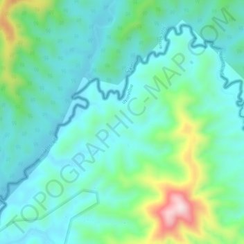
Name: แม่น้ำกระบุรี topographic map, elevation, terrain.
Location: แม่น้ำกระบุรี, Ranong, Thaïlande (10.75376 98.84486 10.78845 98.88920)
Average elevation: 125 m
Minimum elevation: 23 m
Maximum elevation: 474 m
Other topographic maps
Click on a map to view its topography, its elevation and its terrain.