
Maarssenbroek topographic map
Interactive map
Click on the map to display elevation.
About this map
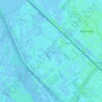
Name: Maarssenbroek topographic map, elevation, terrain.
Location: Maarssenbroek, Utrecht, Niederlande (52.12010 5.00658 52.14643 5.03808)
Average elevation: 1 m
Minimum elevation: -4 m
Maximum elevation: 5 m