
Ssangji-ri topographic map
Interactive map
Click on the map to display elevation.
About this map
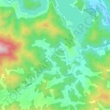
Name: Ssangji-ri topographic map, elevation, terrain.
Location: Ssangji-ri, Suncheon-si, South Jeolla, 57919, South Korea (34.91358 127.38302 34.95358 127.42302)
Average elevation: 180 m
Minimum elevation: 26 m
Maximum elevation: 507 m